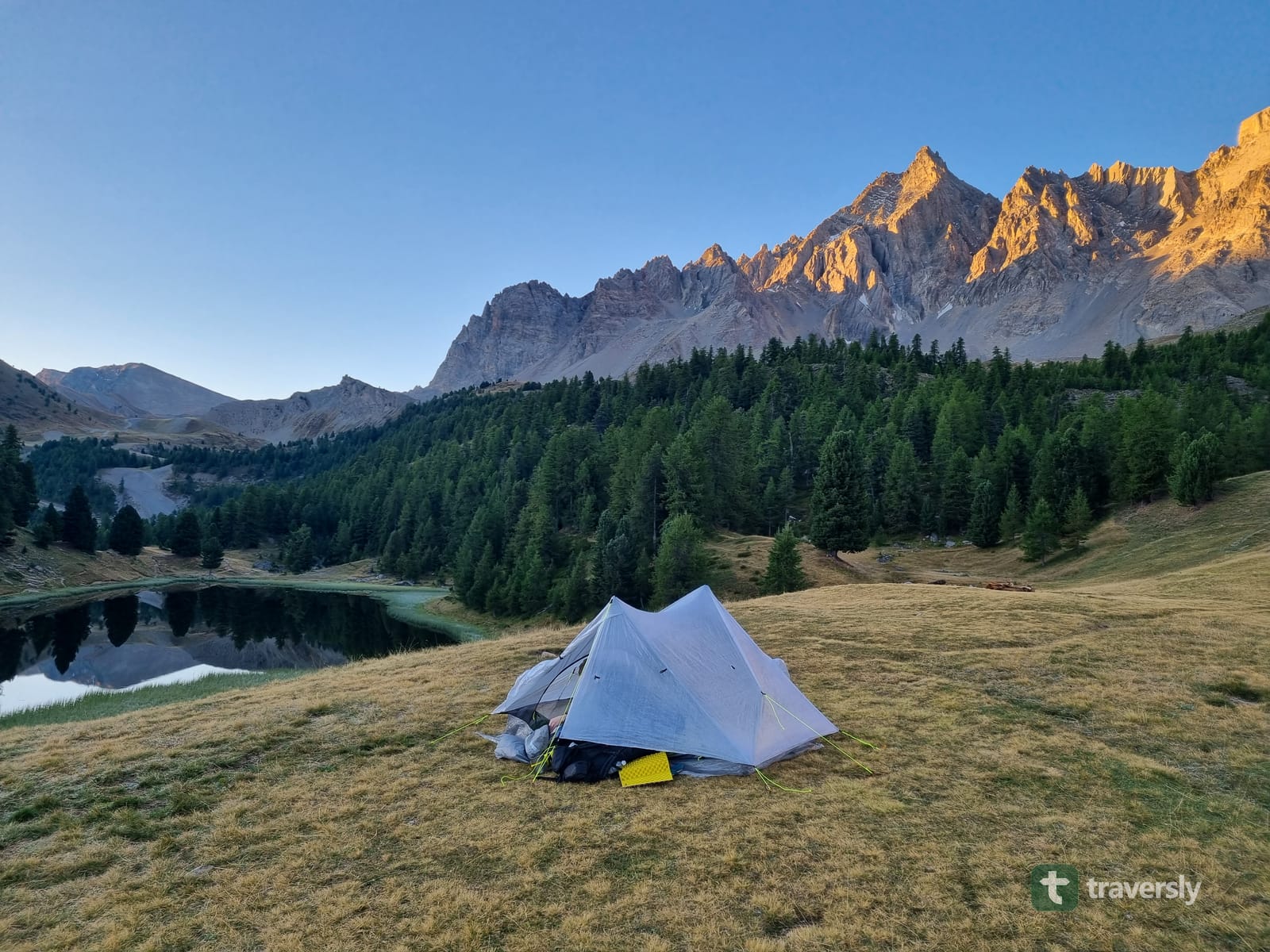

Sunrise alpenglow on the peaks above a mountain tarn on the GR5 in the French Alps, a lightweight tent pitched on the grass in the foreground.
traversly

traversly helps you to plan your days and nights of a multi-day hike.

Where you sleep, how long you want to hike every day, everything will be personalized for you. Works along the most beautiful long-distance trails that are already marked.

Carry all hiking guides on your phone, permanently yours after purchasing. The first 500 hikers to pre-register for the app will get an entire year of all guides for free.

Launching soon.

In the meantime, check our blog for the trails we've already hiked.

Read the blog →
Why traversly

What's wrong with planning long-distance trails today?

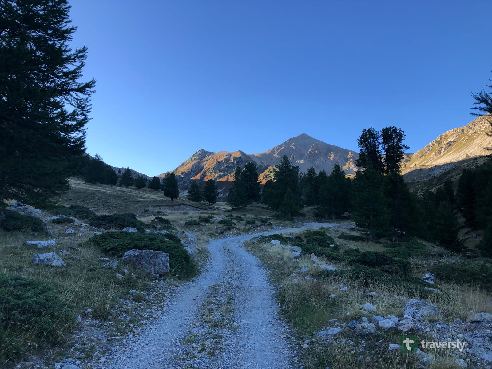
A dirt trail on the GR5 in the French Alps at first light, heading toward a sunlit peak through larch trees.

Guidebooks don't know your pace.

With traversly, there's only the route and the waypoints along it. No fixed day sections that you have to follow, everything is planned according to your hiking speed and preferences.

Still carrying books?

On the GR5, we cut the pages that we had already hiked out of the trail guide - to save weight. No need for that any more - with traversly, keep the entire guide on your phone. Saves you some weight.

Everything is a subscription now.

Outdoor apps rent you what you used to own. Stop paying a subscription and buy only the guides you need. Like the good old books but without the weight.

Trails keep changing.

With traversly, you will not only have access to curated trail guides, but we also build a community that helps each other - by commenting on waypoints and flagging information that is not accurate any more. While hiking, you profit from the information by people ahead of you, and help the people behind you.

The guide

Curated information by experienced thru-hikers

We plan the hike like we would do for ourselves, and make it all available to you in the traversly app: Resupply, difficult passages, huts, good camping spots and even the water sources - which we import from droply, also an app we have built.

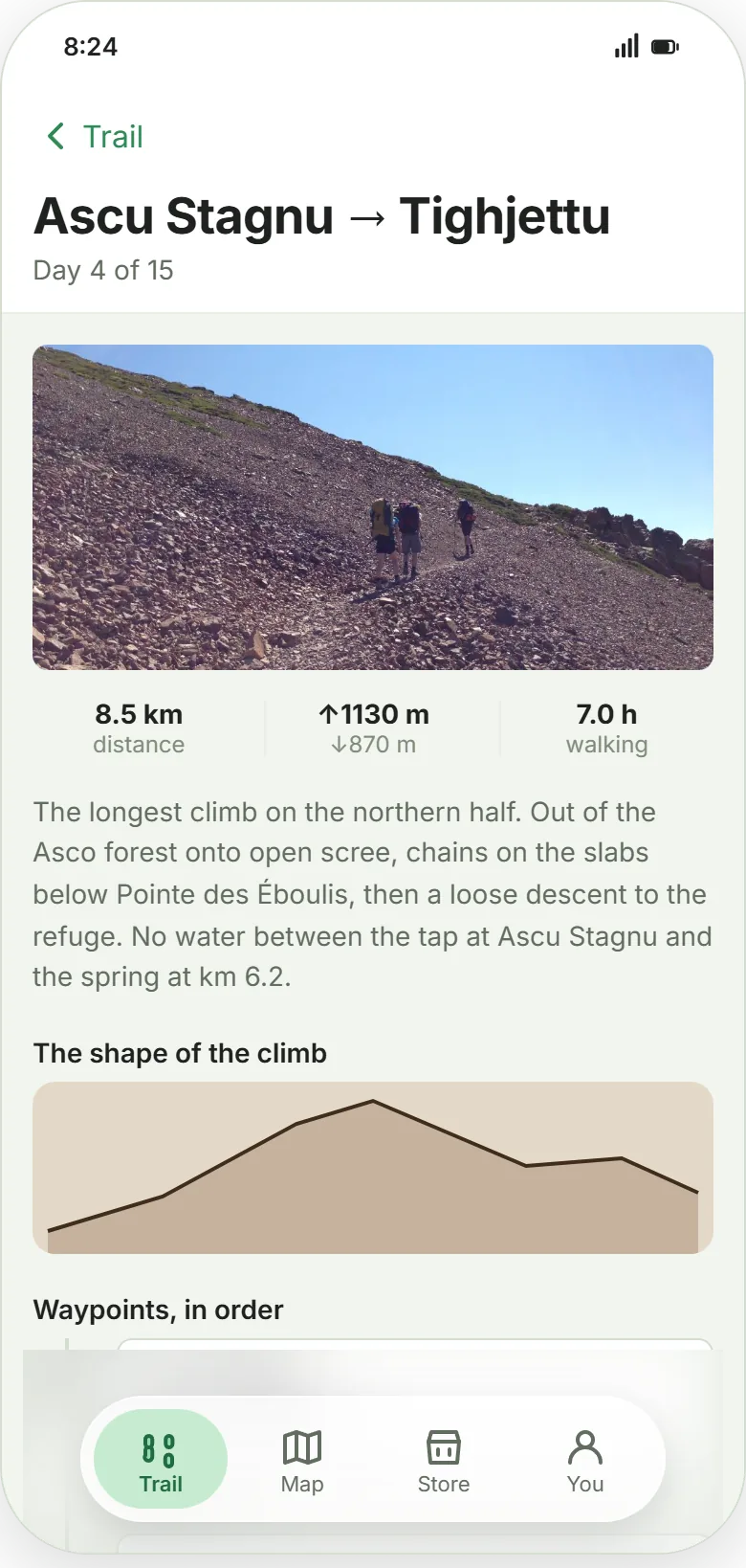
A traversly stage screen for day 4 of 15 on the GR20, Ascu Stagnu to Tighjettu: 8.5 km, 1130 m of ascent, 7.0 hours of walking, an elevation profile, and a hand-written description noting there is no water between the tap at Ascu Stagnu and the spring at km 6.2.
The nights

Plan your nights and day sections before you leave.

Set your hiking speed and say how long you would like to hike every day. traversly will plan the nights and day sections around that information as good as possible. You never start from a blank map - all possible stops are already there.

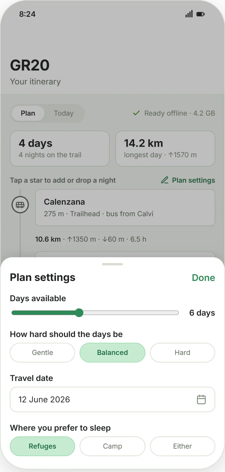
Just tell us how many days you have available for that hike, how hard you want them and if you prefer refuges or if you also carry a tent, traversly will do the rest and leaves you with a checklist which huts to book.

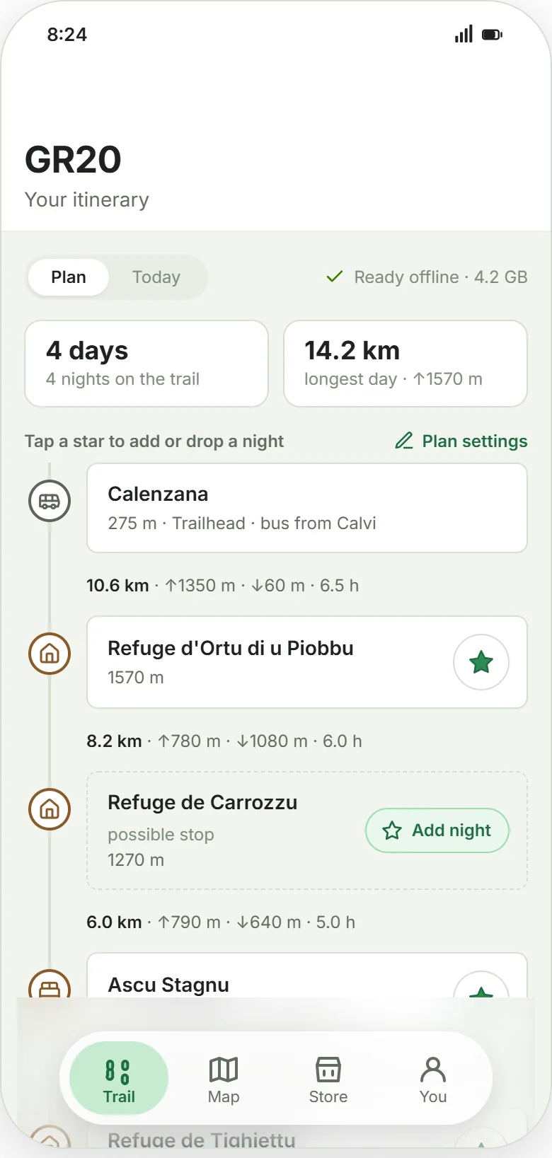
A traversly itinerary for the GR20 showing 4 days and 4 nights on the trail, ready offline, with each overnight stop either starred or offered as a possible extra night, and the distance, ascent, descent and walking time between them. traversly's plan settings: a slider for how many days you have, a choice of gentle, balanced or hard days, a travel date, and whether you prefer refuges, camping or either.

And it tells you which nights you need to book ahead

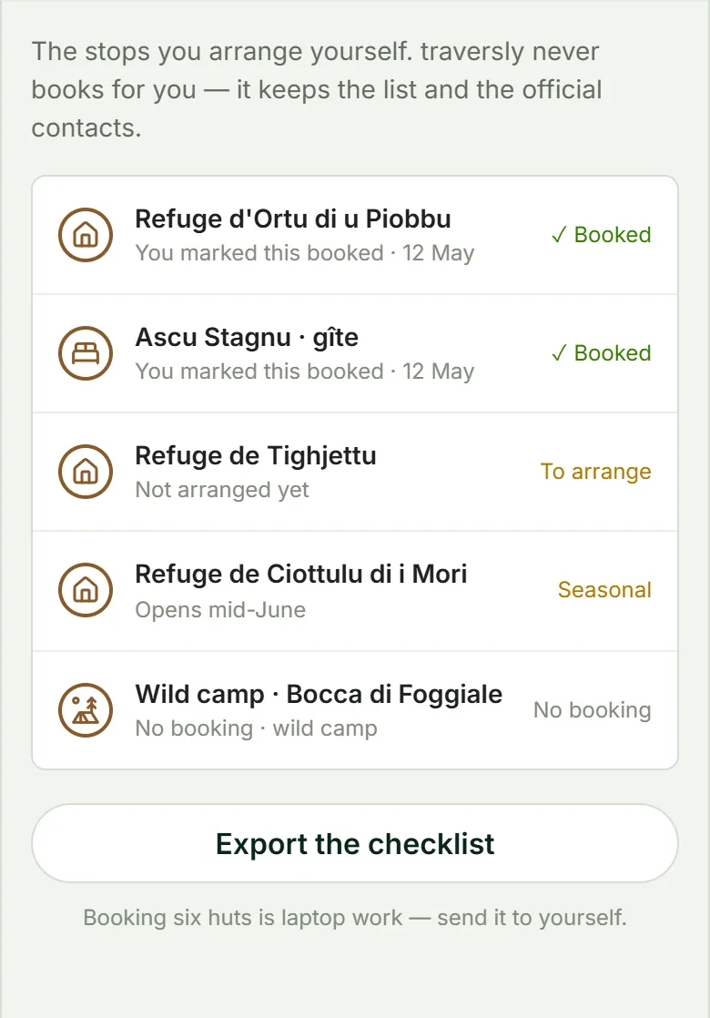
No matter if you plan everything at home or if you keep planning while hiking, traversly helps you with a checklist which accommodation still needs booking and gives you all the relevant contacts and the phone numbers to call, so you can enjoy your hike instead of hassling with detail planning.

A traversly list of the nights on a GR20 plan: two refuges the hiker marked as booked, one still to arrange, one seasonal refuge that opens mid-June, and a wild camp at Bocca di Foggiale that needs no booking at all.
Coverage

What is in a guide

Water

We import from droply, which is a water finder app by the same authors. Both natural sources and tap water is shown in traversly, depending if you want to carry a water filter or not.

Accommodation

This is a major problem on European trails: It's not possible and usually not allowed to sleep just anywhere on the trail. We help you planning the mountain refuges, huts, gîtes and albergues so you don't have to hassle with each country's specific individualities. What they cost, if they need booking or not, and what other hikers found there.

Camping

Where you can pitch your tent legally, where you cannot and the official campgrounds in between.

Resupply

Where you find good shops in the next town and how much of a detour you need to take from the trail to resupply.

Restaurants

Very common on Europe and the biggest luxury to me: Know when the next espresso is just an hour ahead to boost your hike, or find places that still serve food after 8pm.

Scenic views and difficult sections

Sometimes we need to be careful, and sometimes we just want to enjoy the view and share some pictures, or learn about the history of a place. All of this within the same app of course.

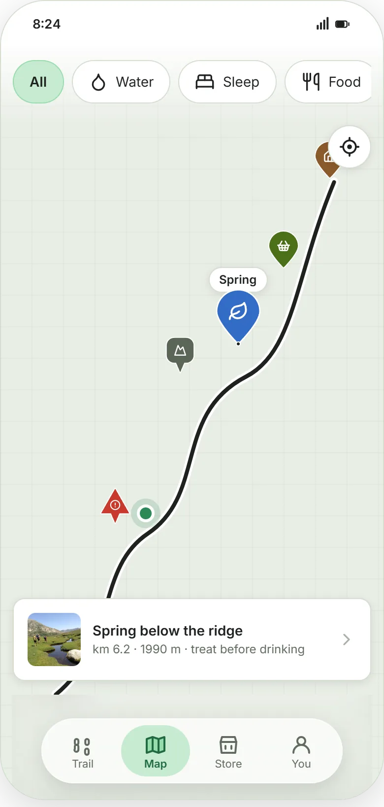
The traversly map filtered by water, sleep and food, with the trail drawn as a line, pins for a refuge, a shop and a viewpoint, and a card for a spring below the ridge at km 6.2 and 1990 m, marked treat before drinking.
How it works

Three steps, then you walk

1

Plan your nights

Individually planned by traversly according to your pace and distance preferences, but you can still change nights as you want. This defines your final day sections and leaves you with a checklist what to book ahead.

2

Download the guide and start hiking

The whole app works in airplane mode - this saves both mobile data and battery. If you get lost, the GPS on your phone also works without mobile data and traversly helps you to find back to the trail.

3

Keep planning while you hike

Check traversly to know what's ahead: When is the next resupply stop or next water along the trail? You can also still change and rearrange the night stops.

Buy the guide. Keep the guide.

One trail, one purchase. No expiry and free lifetime-updates for the same trail. It doesn't matter if you want to hike it now or in two years - the guide is yours to keep, then go hiking whenever you want.

The first 500 get a free year.

If you're planning a long-distance hike in the next twelve months, register now and — if you're one of the first 500 to qualify — every guide is free for your first year.

Are you planning to hike a long-distance trail (multiple days, like the GR20, GR221, a Camino, or the Tour du Mont Blanc) in the next 12 months?

Know when it's ready

Sign up to our mailing list to be the first one to know when we launch. No spam, only an email here and there when we have news.

Who this is for

Anyone whose nights are a real question

Let's get out there, nobody should be stopped from hiking because the planning is complicated.

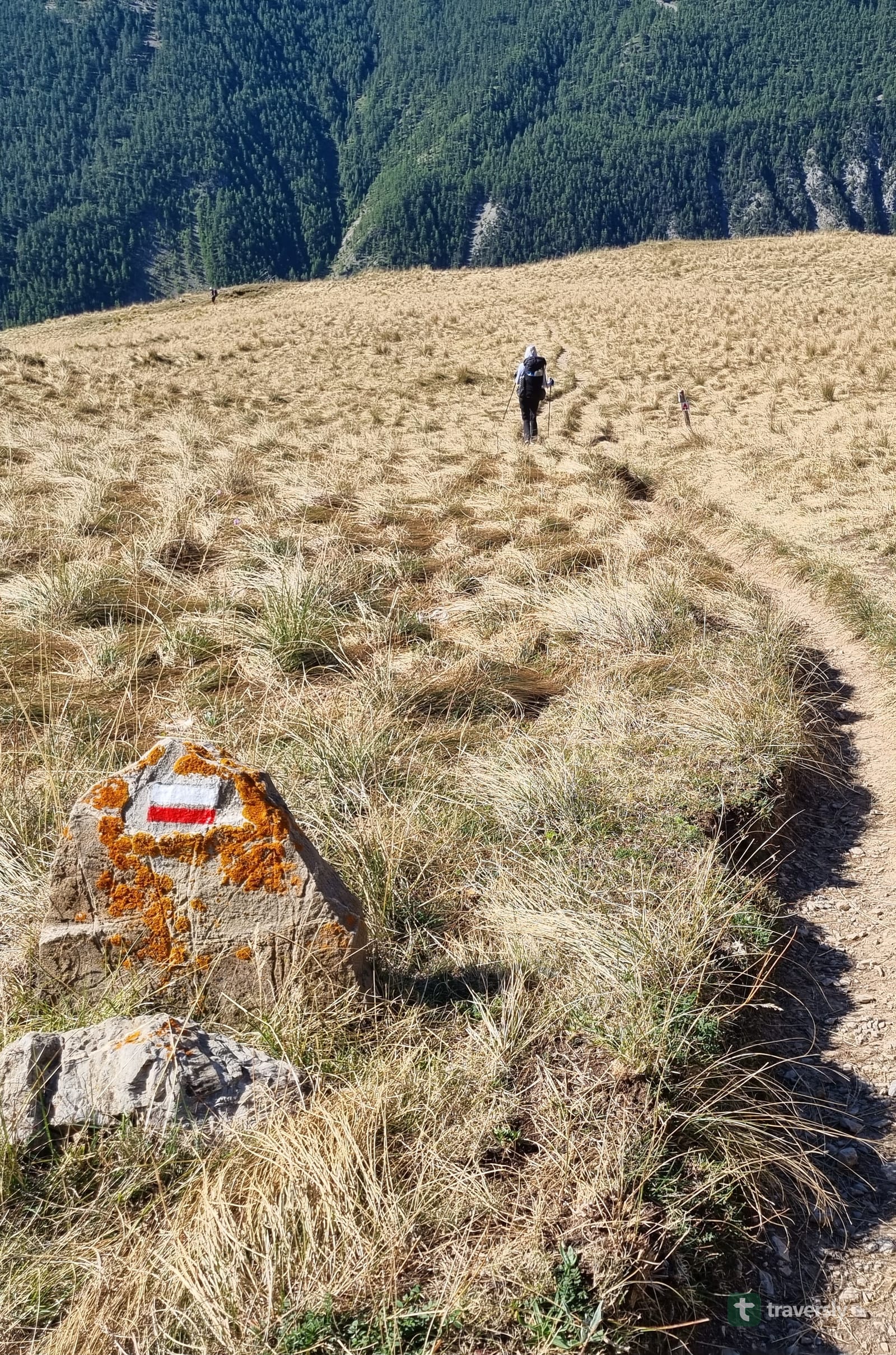
A hiker crossing a golden ridge on the GR5 in the French Alps, following a red-and-white waymark painted on a boulder in the foreground.
Limited beds

Refuges that fill months ahead

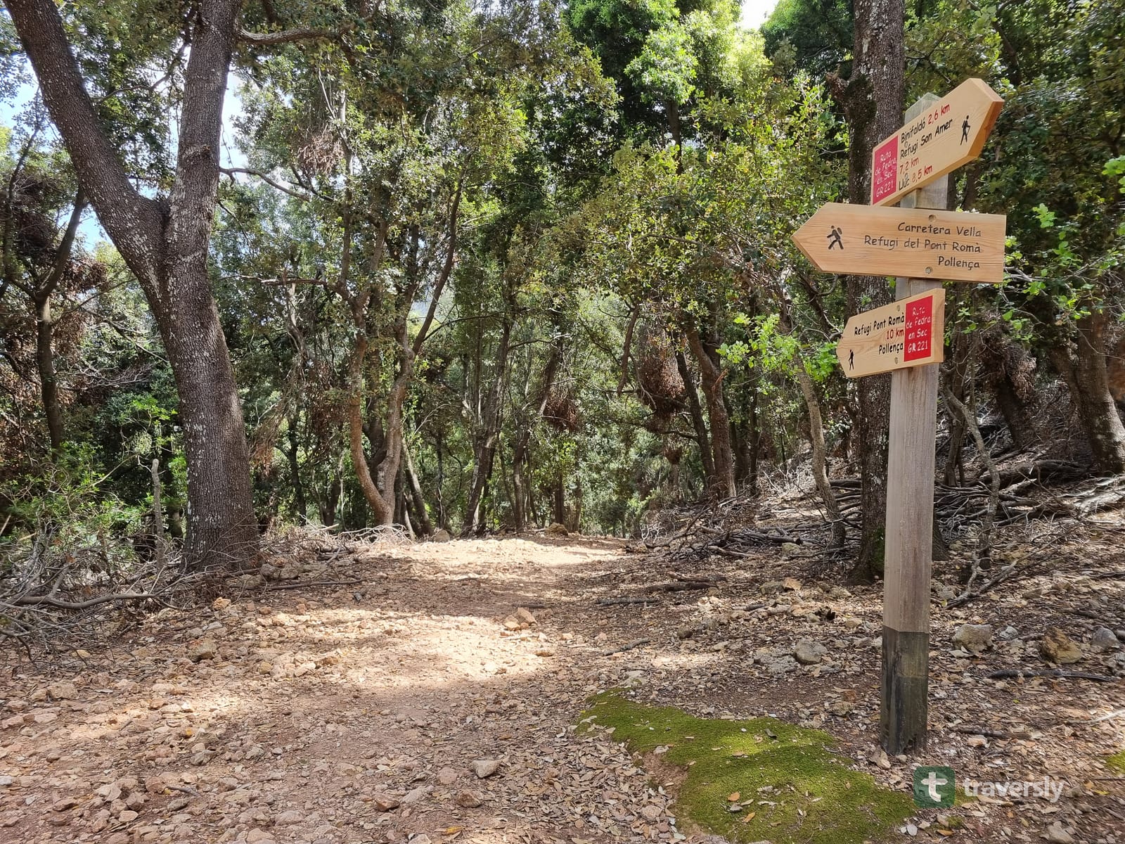
On the GR20, Tour du Mont Blanc and Ruta de Pedra en Sec, the available beds on the usual stops fill quickly. But don't be scared, there are usually alternatives to the most popular places.

Scattered information

Websites and blogs only give you part of the picture

How many times did you have to ask in a Facebook group how to get somewhere, or where to book the municipal accommodation? With traversly, we gather and curate all this information for you.

Camping

If you carry your own tent, know where you can pitch it

Every country has different regulations. On mountainous sections, it's also good to know about the best flat spots before it gets dark.

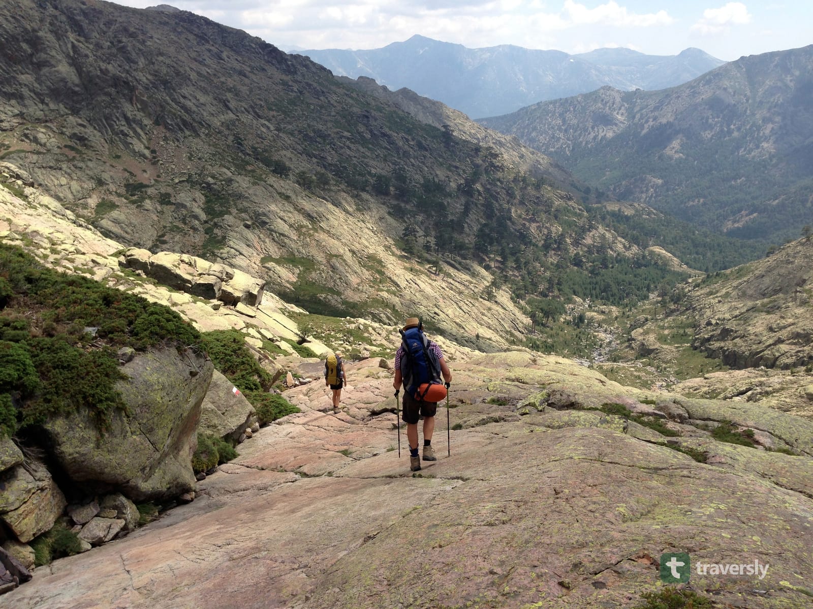
Two hikers with backpacks descending a bare granite slope on the GR20 in Corsica, mountains and a valley below. Our story

Built by thru-hikers

Two CDT thru-hikers built traversly after coming back to Europe and realizing that pitching a tent is not all that easy as it is in the US. Over here, we can't just hike, we have to struggle with local laws and regulations, organizing and calling the huts ahead on the trail.

We are building the guides to make that easier, because long-distance hiking is the most relaxing hobby if you can get rid of the organizational steps. And after building droply, the water finder app, we feel ready for the next step.

Micha and Nathalie

The people on the trail keep it up to date

Leave a comment at a water source, a refuge, a café. Say what you found. The hikers behind you get it, as you also profited from the people ahead of you: That's what we call community. For every contribution you can earn points to turn them into free guides later on. If you have used droply, you already know how it works.

From the blog

The blog, as we write it

FAQ

Frequently asked questions

What is traversly?

A guidebook app for one long-distance trail at a time. It splits the trail into days you can walk, tells you what every night needs, and stays current because the hikers on the trail keep it that way. Launching soon.

When does it launch?

Soon, and the people on the list hear it first. The first blog posts are already written, and the app is in build.

How do I get a guide?

You buy the one trail you are walking, once, and it stays yours. There is nothing to renew. If you pre-registered and were one of the first 500 to qualify, your first year of guides is free.

Do I need a subscription?

No. There is no subscription, no trial and no expiry. A guide you bought keeps working, including the parts you already downloaded.

Does it work offline?

Yes. Once a guide has downloaded, the plan, the map, the waypoints, the comments and writing new ones all work in airplane mode. Weather and incoming comments need a connection, and they always show how old the information is.

Can I change my plan during the hike?

Yes, and that is the point. Star a different overnight stop and the days recompute around it. It works from the refuge, with no signal.

What happens when a hut is full?

Star the next one you can reach and drop the one you cannot. The stages either side recompute, and the list of nights that still need arranging updates with them.

Which trails will be covered?

Long-distance trails across Europe to start, growing into a global catalogue. The GR routes are first in line, the Camino routes follow later, and which trails come next is shaped by what hikers tell us when they pre-register.

Can I get a guide without paying?

The first 500 people who pre-registered and confirmed they are hiking a long trail this year get every guide free for a year. Beyond that, the comments you leave on the trail earn points, and points pay for guides.

Who is building it?

Two CDT thru-hikers, the same people who built droply, the water app.

Know which trail goes live first.

One email when there is something to say. About once a month.