· Micha
How to Plan a GR20 Hike in Corsica: Refuges, Season, Water and Budget
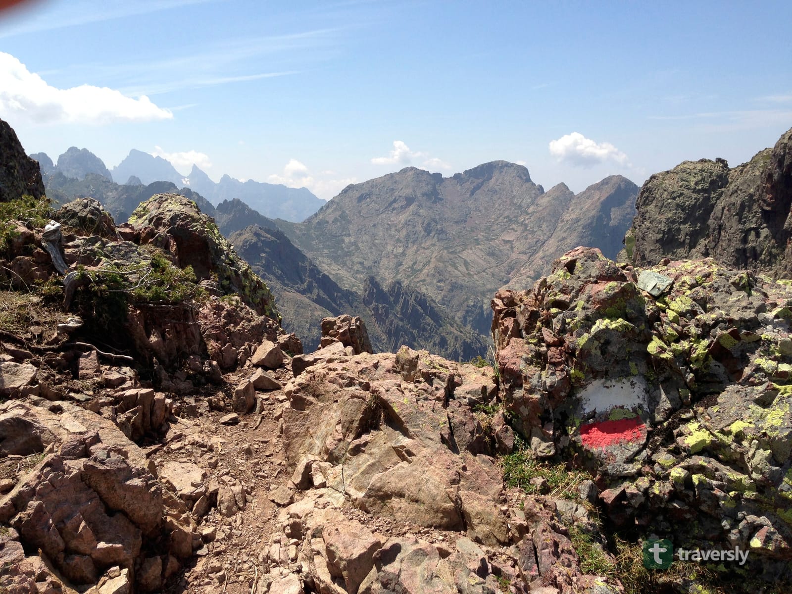
Everything you need to plan a GR20 thru-hike in Corsica: season, refuge booking, water, resupply, and budget. Plus the safety checks worth doing before you go.
TL;DR: The GR20 is a roughly 180 km, two-to-three-week traverse of Corsica’s mountains. Almost everyone who plans one badly gets tripped up by the same two things: refuge booking and water. As of the 2026 season, every overnight on the route has to be booked in advance on the official PNRC platform. That includes a refuge bed, a rented tent, or your own bivouac. Wild camping is banned across the whole park, and conditions like wildfire closures can change parts of the route with only days of notice. This guide covers direction, season, booking, resupply, water, budget, and safety. It also covers where a guide like traversly fits in: planning your nights into days you can walk, and keeping up when the plan has to change on the trail.
The GR20 is a roughly 180 km high-mountain trail across Corsica, from Calenzana in the northwest to Conca in the southeast. It’s routinely described as one of the hardest waymarked long-distance trails in Europe. It isn’t hard because it’s badly marked or remote in the way a Scandinavian trail is remote. It’s hard because of what it asks of you every single day: loose rock, granite slabs, chains on the steep sections. Stages keep climbing and dropping a thousand meters or more between a bed and the next one. Planning one well mostly comes down to getting a short list of things right before you leave home. Almost none of them can be fixed once you’re on the trail.
How long is the GR20, and how hard is it really?
The GR20 runs about 180 km with well over 10,000 meters of cumulative ascent, split into 16 official stages between Calenzana and Conca. Plenty of trekking operators group those into 15 daily stages instead, by combining a short one with a neighbor. Most independent hikers take 15 to 16 days, walking one stage per day. Fast, fit parties who combine stages can do it in 10 to 12. People carrying heavier packs, or splitting the toughest stages in two, often take closer to three weeks.
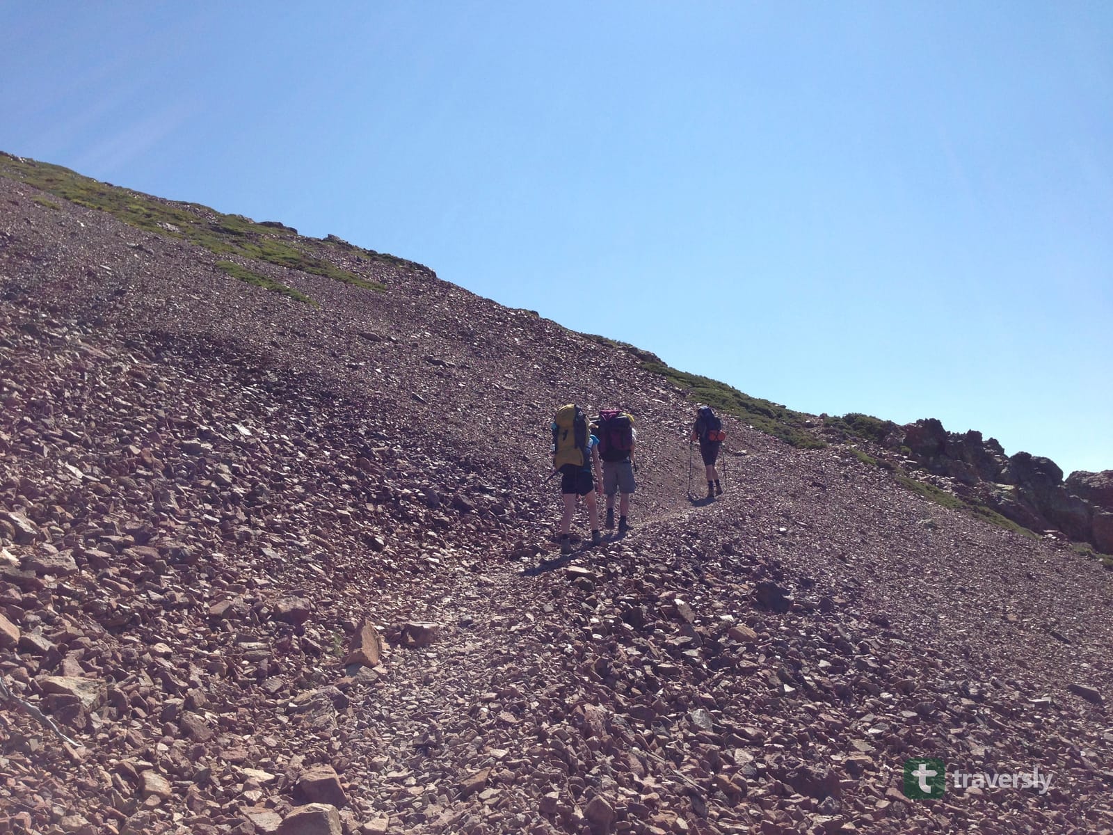
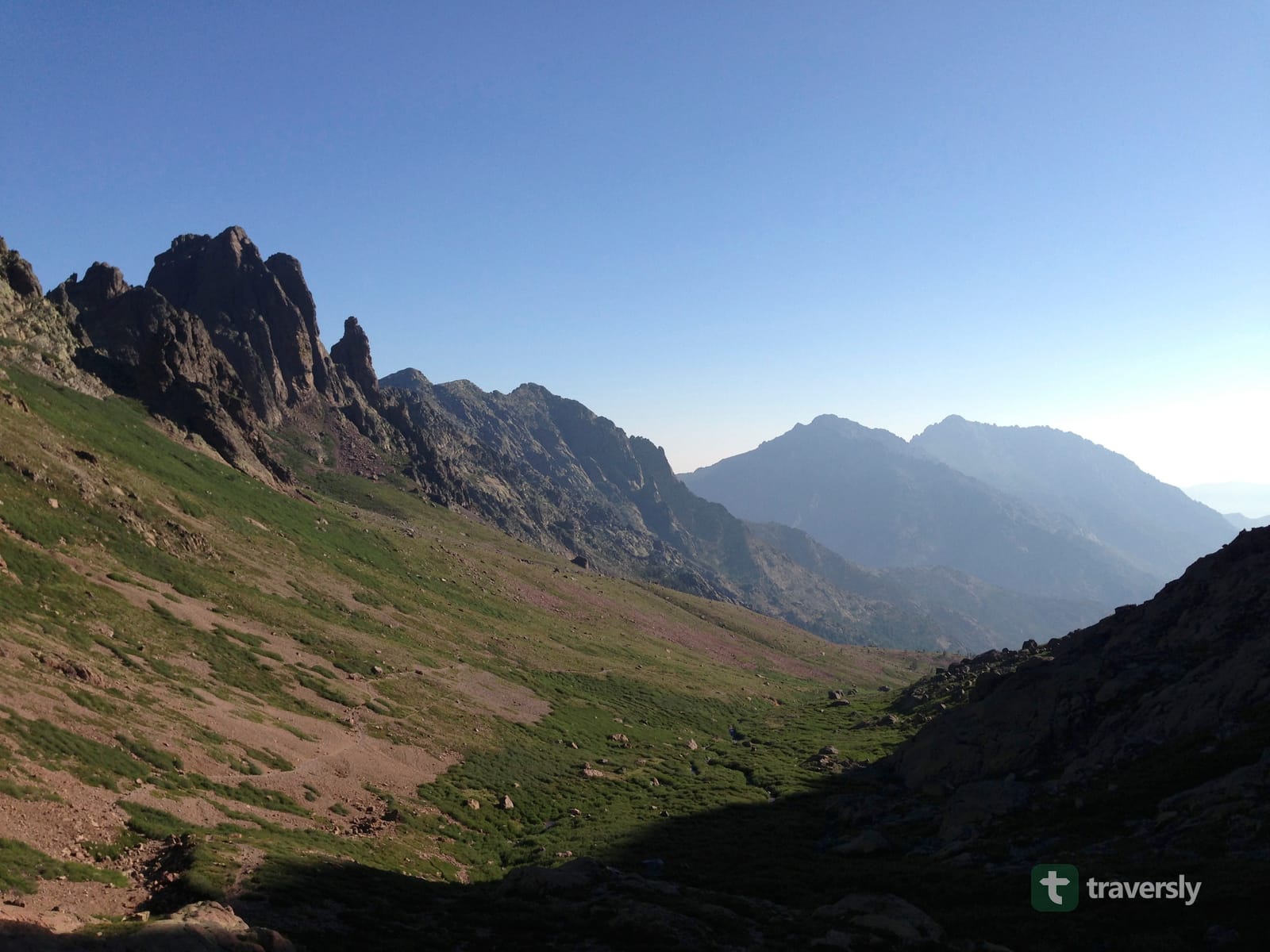
What makes it harder than the distance and elevation numbers suggest is the terrain itself. It’s long sections of loose scree, exposed granite slabs polished smooth by traffic, and several stretches with fixed chains. On those chained sections, you’re using your hands as much as your feet. None of it is technical climbing. But it’s a different category of trail from a well-graded alpine path, and it punishes people who show up expecting the latter.
Summary: Budget 15 to 16 days for the full traverse, and expect terrain, not distance, to be what actually slows you down.
Corsica is a beach destination: do you actually need alpine gear for the GR20?
Yes. Most people’s mental image of Corsica is the coast: turquoise water, beach towns, a Mediterranean holiday island. That has nothing to do with the terrain the GR20 actually crosses. The trail spends almost all of its length above 1,500 meters, on exposed ridgelines and granite. That rock can be wet, icy at the edges of the season, or lightning-exposed in a summer storm that built in twenty minutes. Pack and dress for it the way you would for any high alpine traverse, not for a Mediterranean hike with a sea view. That means proper hiking boots, not trail runners, on the northern half’s rock. It means a real hardshell layer, and a plan for what you do if weather catches you on an exposed stretch.
Summary: The GR20 shares a coastline with Corsica’s beach resorts and nothing else: equip for a high alpine trail, not an island holiday.
Which direction should you hike: Calenzana to Conca, or the reverse?
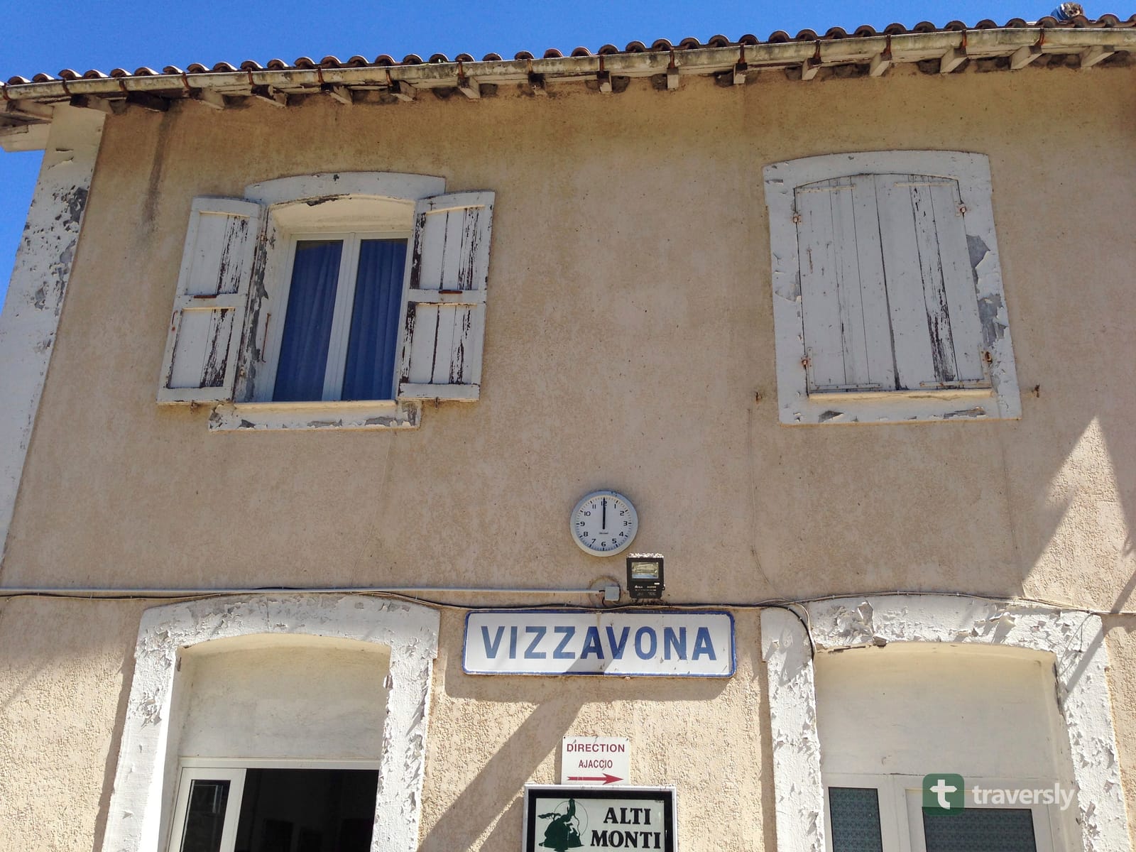
Most guides describe the GR20 north to south, from Calenzana to Conca. That’s the direction refuge capacity and most trekking-company itineraries are built around. The trail splits almost exactly in half at Vizzavona, a village with its own train station on the Ajaccio–Bastia line. That’s why most people who only have time for one half start or end their trip there, rather than at Calenzana or Conca.
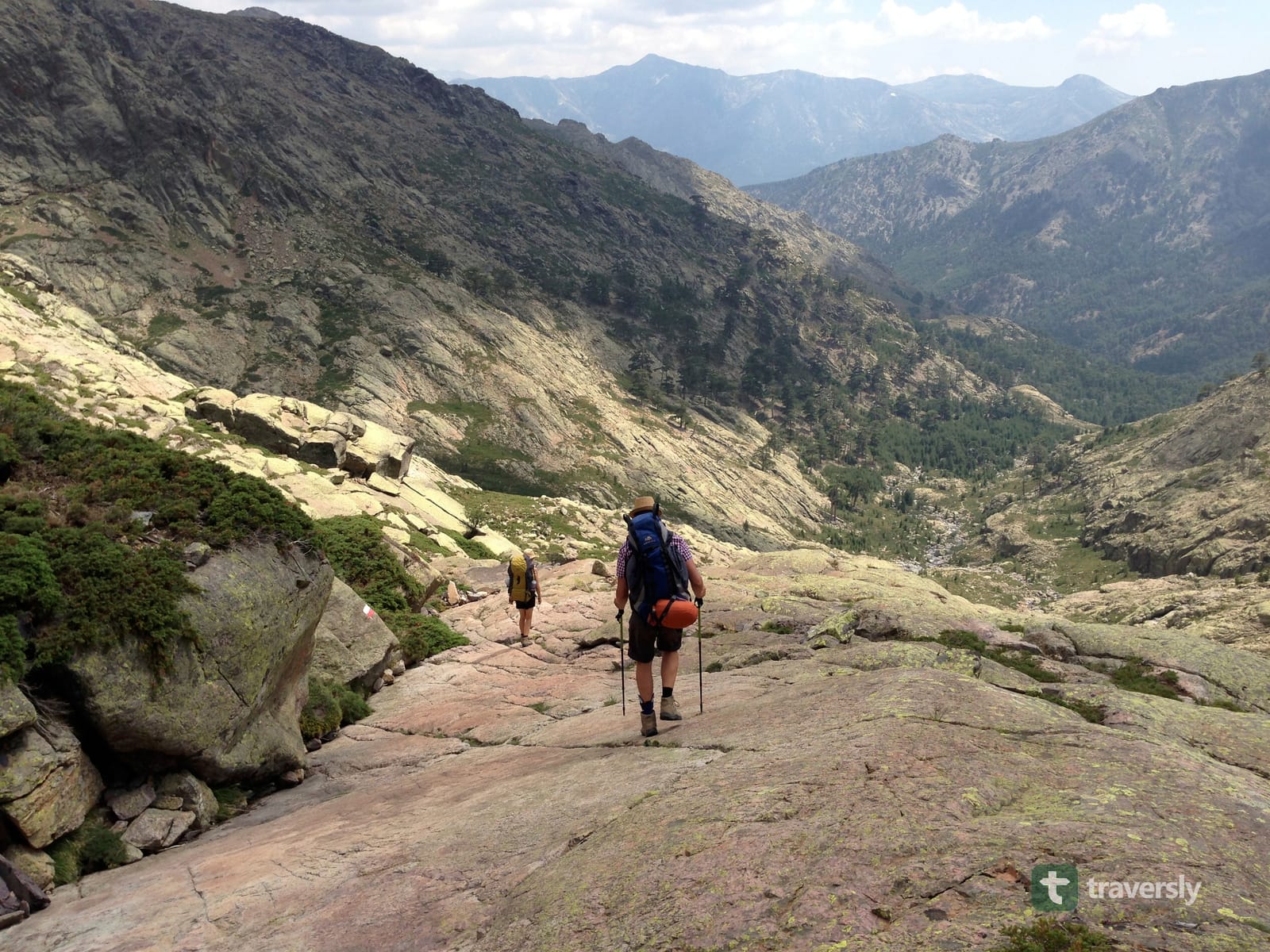
Some experienced hikers deliberately go the other way, south to north. The southern stages are gentler, and let you build fitness and trail legs before the harder, more exposed northern section. The trade-off is finishing on the hardest terrain instead of easing out of it. Weigh that against your own fitness, and how much margin you want left in your legs by the last few days.
Summary: North to south is the conventional direction, and what refuge planning assumes. South to north front-loads easier stages, at the cost of a harder finish.
Which half should you hike if you don’t have three weeks?
Splitting at Vizzavona is the standard answer if you only have a week or two. The two halves are different enough in character that it’s more than a scheduling decision. The northern half, Calenzana to Vizzavona, is the cliffier, more mountainous side: jagged ridgelines, more exposure, and the terrain most GR20 photos are actually showing. The southern half, Vizzavona to Conca, gradually softens into wider pastures and rounder granite. It finishes among the Bavella needles, a landscape that feels closer to a US-style national park than the rest of Corsica.
If the high-mountain, chains-and-scree reputation is what drew you to the GR20 in the first place, walk the north. You might rather ease from rougher terrain into open pasture, finishing somewhere that feels different from where you started. If so, the south delivers that arc better.
Summary: The north is the harder, more classically alpine half. The south is gentler, and ends in the more open, park-like scenery of the Bavella massif.
When is the best time to hike the GR20?
The realistic window is late June through mid-September. That’s when the mountain refuges are staffed and open, and the worst of the winter snow has cleared from the higher passes. July and August are peak season: hottest, busiest, and the months you need to book refuges the furthest in advance. June and September are generally recommended as the best compromise of manageable crowds and stable weather. The caveat: late-June stages can still carry snow patches at altitude in a heavy winter.
Summary: Late June to mid-September is workable; September usually offers the best weather-to-crowd trade-off, July–August the most reliable refuge and shop opening hours.
Do you have to book refuges on the GR20, and how does that work now?
Yes: booking is mandatory for every overnight in the park, with no walk-up option at the refuge desk. The Parc naturel régional de Corse (PNRC) manages the trail and its refuges. It runs all reservations through a single official platform, pnr-resa.corsica. That applies whether you want a dormitory bed, or a tent the refuge rents out and pitches for you. It also applies to a spot to pitch your own tent on the refuge’s designated bivouac area.
Bookings for a season typically open in January. Popular dates, especially July and August weekends, can fill without warning. The practical approach is to lock in your stage-by-stage plan, and book as soon as your dates are fixed, rather than waiting.
As of the 2026 season, PNRC’s published rates are around €9–12 per person for a bivouac pitch, and around €20 for a dormitory bed. Renting a tent that’s already set up costs roughly €27–39, for one or two people. Check the current prices on pnr-resa.corsica before you commit, since PNRC revises them each season. Dates can’t be changed on-site with the warden once you’ve booked.
Summary: Every bed, rented tent, and bivouac pitch on the GR20 must be booked in advance on pnr-resa.corsica; there’s no booking at the refuge itself.
Is wild camping allowed on the GR20?
No: wild camping is banned across the entire Parc naturel régional de Corse, not only near the trail itself. It’s an enforced rule, with fines reported around €135 for pitching outside a designated area. The only legal option is the marked bivouac area attached to each refuge. Even that pitch has to be booked through pnr-resa.corsica ahead of time, the same as a dormitory bed.
This surprises a fair number of hikers who assume a lightweight tent buys them the flexibility to camp wherever they stop for the day. On the GR20 it doesn’t: your tent changes what you sleep in, not where you’re allowed to put it.
Summary: Camping is legal only in a refuge’s designated, pre-booked bivouac area, never wild, anywhere in the park.
How do you get to the GR20’s trailheads?
Corsica has four airports: Ajaccio, Bastia, Calvi, and Figari, plus ferry ports at Bastia, Ajaccio, and Propriano reachable from mainland France and Italy. Calenzana, the northern trailhead, is a short bus or taxi ride from Calvi. Conca, the southern trailhead, connects to Porto-Vecchio and Bonifacio the same way. If you’re only walking one half, Vizzavona is the easiest access point. That’s because it’s on the Ajaccio–Bastia railway, not a bus connection you have to time around.
Bus and shuttle schedules on Corsica change between seasons, and some years drop routes entirely. Treat any specific timetable you find, including this one, as something to reconfirm close to your dates rather than a fixed fact. Check it ideally against FFRandonnée, France’s official hiking federation and the body that maintains GR waymarking standards nationally.
Summary: Fly or ferry into Ajaccio, Bastia, Calvi, or Figari, then bus or taxi to Calenzana or Conca. Or use the Vizzavona train station if you’re only doing one half.
How does resupply actually work on the trail?
Refuges sell a limited range of food and snacks. Roughly every three to five stages, the trail passes near, or a short detour from, a village or bergerie with a proper shop. But the gaps between them are longer than they look on a map, especially in the trail’s middle third. Most hikers carry two to four days of food between real resupply points. They top up opportunistically at refuges along the way, rather than relying on any single stage having what they need.
Independent GR20 resources that focus specifically on this, like Corsica Natura’s logistics breakdown, are worth reading stage by stage before you leave. The exact shop hours and what’s actually in stock vary by season and by whoever is currently running that particular bergerie. This is rural Corsica, not a resupply town on the Appalachian Trail.
Summary: Plan for 2–4 days of carried food between real resupply points, and treat refuge food as a supplement, not your main plan.
Is water a real problem on the GR20?
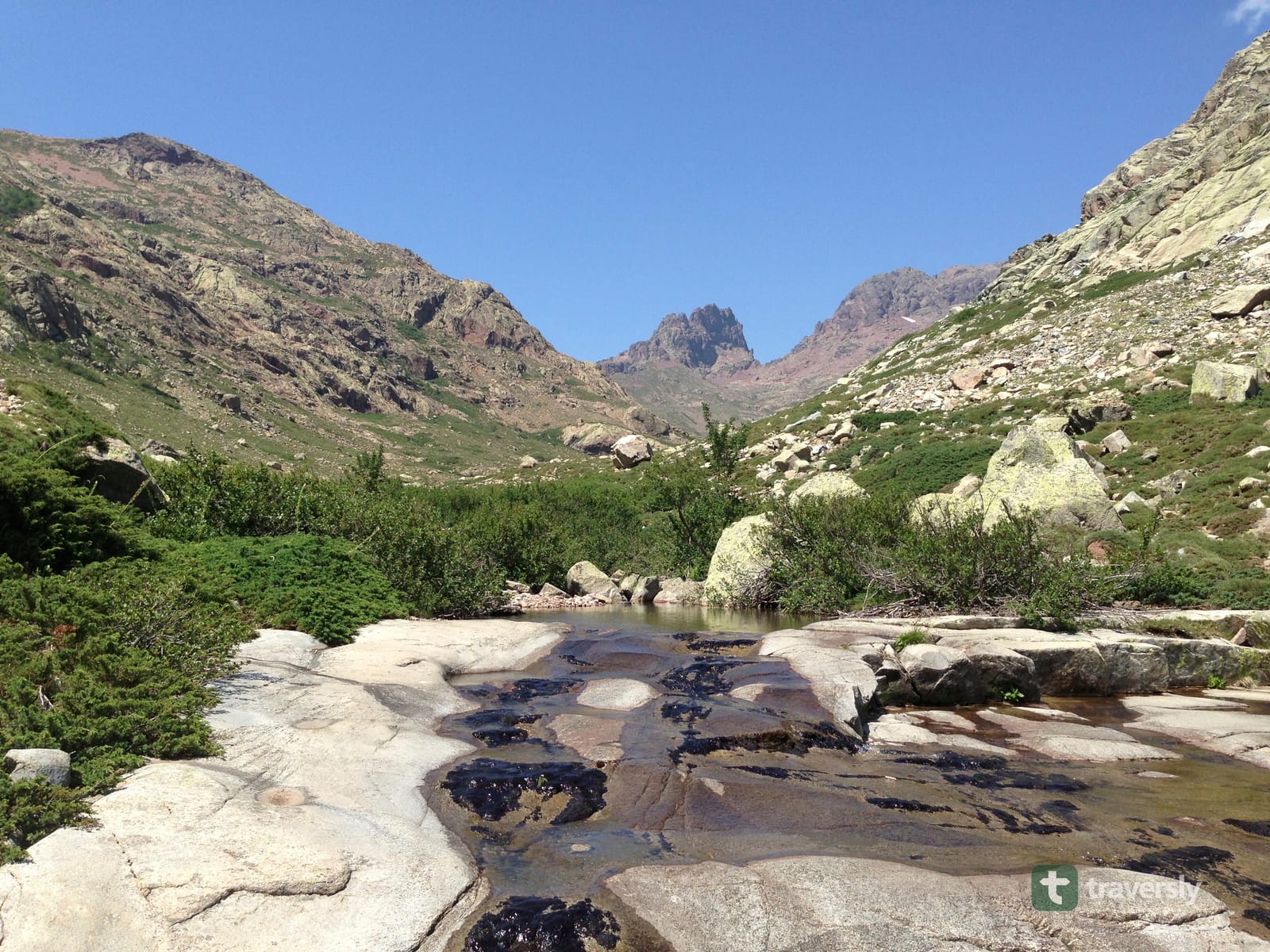
Generally, no: Corsica’s mountains have frequent streams and springs, and most stages cross water multiple times a day. The exceptions are real, though. A handful of stretches, particularly in the southern half in peak summer, run dry between refuges. What’s flowing in June can be a trickle by late August. Treat any water you don’t take directly from a refuge tap, the same way you would on any mountain trail with grazing animals nearby.
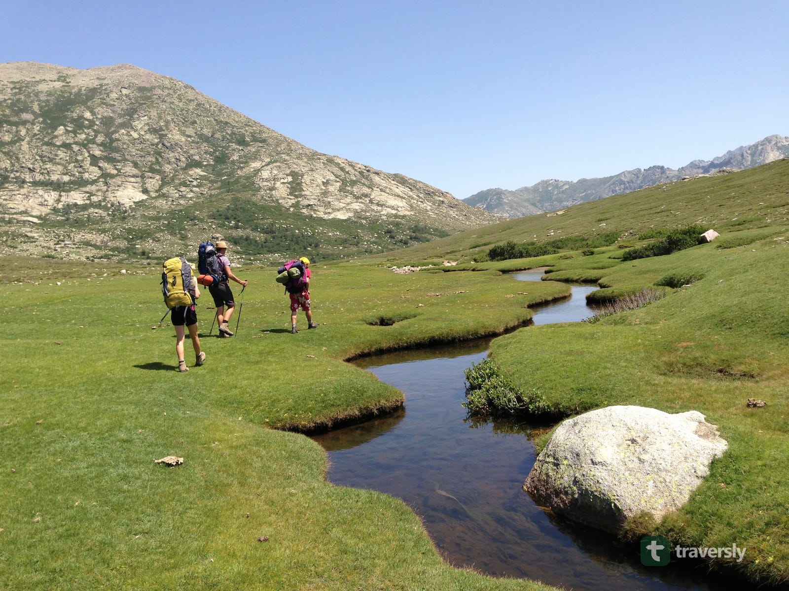
Summary: Water is plentiful most of the route, but a few late-summer stretches genuinely run dry: check the stage-specific detail, not just the trail-wide reputation.
What happened to the Cirque de la Solitude, and does it still matter?
The Cirque de la Solitude, once the GR20’s most notorious chained passage, has been closed to the official trail since 2015. A storm and rockfall killed seven hikers there that year. The route has been permanently rerouted onto a variant. It climbs via Pointe des Éboulis, descends to Bocca Crucetta, and rejoins the main trail near Tighjettu. It’s longer and higher than the old route, with some chained sections of its own. But it doesn’t have the exposed scrambling the original cirque required. If you’re reading an older account of the GR20 that describes the Cirque itself as part of the route, that description predates the reroute.
Summary: The Cirque de la Solitude is no longer part of the official GR20; today’s route uses a longer, less exposed variant around it.
What should you budget for a GR20 thru-hike?
Beyond flights or ferries, the recurring costs are refuge/bivouac fees (the €9–20+ per night range above, times 15–16 nights), and food. Food means refuge meals, resupply shopping, and whatever you carry in. There’s also any bus or taxi transfers to and from the trailheads.
People sleeping in their own tent and self-catering spend meaningfully less per day than those eating refuge half-board every night and renting equipment. Either way, the trail itself has no entry fee beyond the mandatory overnight bookings.
Summary: Overnight fees are the one fixed, unavoidable cost; food and gear rental are where a GR20 budget actually varies person to person.
What are the main safety risks, and how current do you need to stay?
The terrain itself is the baseline risk on any GR20 stage: loose rock, exposure on the chained sections, and sudden mountain-weather changes including lightning. It’s why the trail rewards prior scrambling and multi-day backpacking experience, rather than being a good first long trail. Beyond that, the risk that catches planners out is how quickly official conditions can change. Wildfire risk closes sections of the park with days’, sometimes hours’, of notice during dry summers. A closure can strand hikers at a refuge until the park reroutes or shuttles them around it. That’s happened on the northern section in past fire seasons.
None of this is something you can fully plan for months in advance. It’s something you check right before you leave, and again each morning you’re on the trail. Check it against the PNRC’s own current alerts, rather than a guidebook or an older blog post (including, eventually, this one).
Summary: The physical terrain is the constant risk. Wildfire and weather closures are the variable one, and both need confirming close to, and during, your hike, not just once while planning.
Where does a planning tool like traversly actually fit in?
Reserving your overnights on pnr-resa.corsica is homework you do once, before you leave, and no app takes that off you. The harder part is everything around it. Splitting 180 km into days you can actually walk, at your pace rather than the one a guidebook author had. Knowing which of your nights are settled and which still need something from you. And then everything that changes while you’re already walking: was the water source two hours ahead still running when someone passed it yesterday, is a bergerie’s shop actually open this week, and how far is the next bed really, once you’ve adjusted your pace to how the terrain is treating you that day?
That’s the gap traversly is built for. It’s a guidebook for one trail, and its main job is planning your nights. It proposes the stages and where you sleep each night, you star the ones you want and drop the ones you don’t, and the days recompute around your choices. You never start from a blank map and a drawing tool. For every night it shows what that night needs, and it collects the ones still waiting on you in one place. The GR20 is the strictest case of this in Europe, because every single night here needs a PNRC reservation. On most trails a good share of your nights need nothing at all, and knowing which is which is the point.
Once you’re walking, the same plan is what you re-plan from. If a stage runs longer than the profile suggested, you change the night you’re aiming for from the refuge, without signal, and the stages either side adjust. Alongside that it carries what changes week to week: water, beds, camping, resupply, and the difficult sections drawn along the stretch they cover. That’s kept current by comments other hikers leave a few days ahead of you, not by an annual guidebook update. It’s launching soon. Like the mandatory PNRC reservations above, you buy the GR20 guide once, and you don’t pay a subscription for a trail you might walk once in your life. It sits alongside your PNRC bookings rather than instead of them: traversly keeps the list and the official contacts, never books anything for you, and never shows availability. See traversly’s full trail list for what else is covered.
Frequently asked questions
How long does the GR20 take to hike?
Most people finish the full Calenzana-to-Conca traverse in 15 to 16 days, hiking one official stage a day. Fit, fast parties sometimes combine stages and finish in 10 to 12. Parties carrying more weight, or splitting the harder stages in two, can take 18 to 20.
Do I have to book refuges before I go?
Yes. Since the PNRC centralized the system, every overnight in the park must be booked and paid for in advance on pnr-resa.corsica. That includes a refuge dorm bed, a rented tent, or a pitch in your own tent on a designated bivouac area. You cannot show up and book at the refuge desk.
Can I wild camp on the GR20?
No. Wild camping is banned across the entire Parc naturel régional de Corse, not just near the trail. You can only pitch a tent on the designated, paid bivouac areas attached to each refuge. That pitch still has to be booked in advance, like any other overnight.
Which direction is better: Calenzana to Conca, or Conca to Calenzana?
Calenzana to Conca (north to south) is the direction described in most guidebooks and the one refuge capacity is generally planned around. South to north front-loads the easier, more forgiving stages, which some hikers prefer for acclimatizing before the harder, more exposed northern half. But it means finishing on the toughest terrain, rather than easing out.
Which half should I hike if I only have a week or two?
Split at Vizzavona. The northern half (Calenzana to Vizzavona) is cliffier and more mountainous, with more exposure. The southern half (Vizzavona to Conca) is gentler, opens into wider pastures, and finishes in the Bavella needles. That’s closer to a US-style national park than the rest of Corsica.
Corsica is known for its beaches, do I really need mountain gear?
Yes. The GR20 spends almost its entire length above 1,500 meters on exposed ridgelines and granite, with weather that can turn quickly. Equip and dress for a high alpine trail: proper boots, a real hardshell layer, not for a Mediterranean holiday. That’s true regardless of what the rest of Corsica looks like from the coast.
Is the GR20 a good first long-distance hike?
Not really, on its own. The terrain is a level up from a well-graded alpine trail: loose rock, chains, granite slabs, and stages with real exposure. It rewards people who already have multi-day backpacking and scrambling experience. If it’s your first time carrying a full pack for two weeks, do a shorter trial trek first.
Frequently asked questions
How long does the GR20 take to hike?
Most people finish the full Calenzana-to-Conca traverse in 15 to 16 days, hiking one official stage a day. Fit, fast parties sometimes combine stages and finish in 10 to 12. Parties carrying more weight, or splitting the harder stages in two, can take 18 to 20.
Do I have to book refuges before I go?
Yes. Since the PNRC centralized the system, every overnight in the park must be booked and paid for in advance on pnr-resa.corsica. That includes a refuge dorm bed, a rented tent, or a pitch in your own tent on a designated bivouac area. You cannot show up and book at the refuge desk.
Can I wild camp on the GR20?
No. Wild camping is banned across the entire Parc naturel régional de Corse, not just near the trail. You can only pitch a tent on the designated, paid bivouac areas attached to each refuge. That pitch still has to be booked in advance, like any other overnight.
Which direction is better: Calenzana to Conca, or Conca to Calenzana?
Calenzana to Conca (north to south) is the direction described in most guidebooks and the one refuge capacity is generally planned around. South to north front-loads the easier, more forgiving stages, which some hikers prefer for acclimatizing before the harder, more exposed northern half. But it means finishing on the toughest terrain, rather than easing out.
Which half should I hike if I only have a week or two?
Split at Vizzavona. The northern half (Calenzana to Vizzavona) is cliffier and more mountainous, with more exposure. The southern half (Vizzavona to Conca) is gentler, opens into wider pastures, and finishes in the Bavella needles. That's closer to a US-style national park than the rest of Corsica.
Corsica is known for its beaches, do I really need mountain gear?
Yes. The GR20 spends almost its entire length above 1,500 meters on exposed ridgelines and granite, with weather that can turn quickly. Equip and dress for a high alpine trail: proper boots, a real hardshell layer, not for a Mediterranean holiday. That's true regardless of what the rest of Corsica looks like from the coast.
Is the GR20 a good first long-distance hike?
Not really, on its own. The terrain is a level up from a well-graded alpine trail: loose rock, chains, granite slabs, and stages with real exposure. It rewards people who already have multi-day backpacking and scrambling experience. If it's your first time carrying a full pack for two weeks, do a shorter trial trek first.
Published on · Updated on
← Back to blog  By Micha · Co-Founder, traversly
CDT thru-hiker · Co-founder of droply and traversly
Micha co-founded traversly after thru-hiking the Continental Divide Trail and co-founding droply, the water-finding app used by hikers in more than 60 countries. He is currently walking and researching long-distance trails across Europe, from the Camino Francés to the GR20, before traversly ships.
New guides in your reader
New trail guides land in your feed reader the day they're published. No email address, no account, no tracking. If you'd rather have them by email, there's the newsletter.
Feed address
https://traversly.app/rss.xml