· Micha
GR221 Mallorca: A Relaxed Thru-Hike Through the Tramuntana
A trip report and planning guide to the GR221 in Mallorca's Serra de Tramuntana. It covers direction, refuges, water, weather, and why a real mountain trail can still be this comfortable to organize.
TL;DR: The GR221, Mallorca’s Ruta de Pedra en Sec, is a roughly 139 km traverse of the Serra de Tramuntana in 13 official stages. Most hikers combine those into 7 to 10 walking days. It climbs real limestone terrain with real mountain weather. But towns, buses, refuges, and restaurants are rarely far away, making it unusually forgiving to organize compared with most mountain thru-hikes. This guide covers direction, where to start, and refuge booking versus staying flexible. It also covers the trail’s 2025 waymarking upgrade, water, weather, season, and where a guide like traversly fits in, once it plans nights on this trail too.
Mallorca’s reputation is beaches and resorts. The GR221 has almost nothing to do with either. It’s a roughly 139 km traverse of the Serra de Tramuntana, the limestone mountain range running along the island’s northwest coast. It follows trails built centuries ago from dry stone. What makes it worth writing about isn’t that it’s easy. It climbs, it descends onto loose limestone, and it delivers real mountain weather more than once a week. But it’s unusually relaxed to organize. Towns, buses, refuges, and a hot meal are rarely more than a few hours away, in a way that most multi-day mountain trails don’t offer.
How hard is the GR221 really, and why does it feel so relaxed?
It’s a real mountain trail, not a resort walk with a view. The Serra de Tramuntana’s limestone paths are rocky and uneven underfoot. Several stages carry 800 to 1,000 meters of cumulative ascent. A handful of ridge sections are exposed enough that fog or a strong crosswind changes how the day feels. None of that goes away because the trail happens to be on a holiday island.
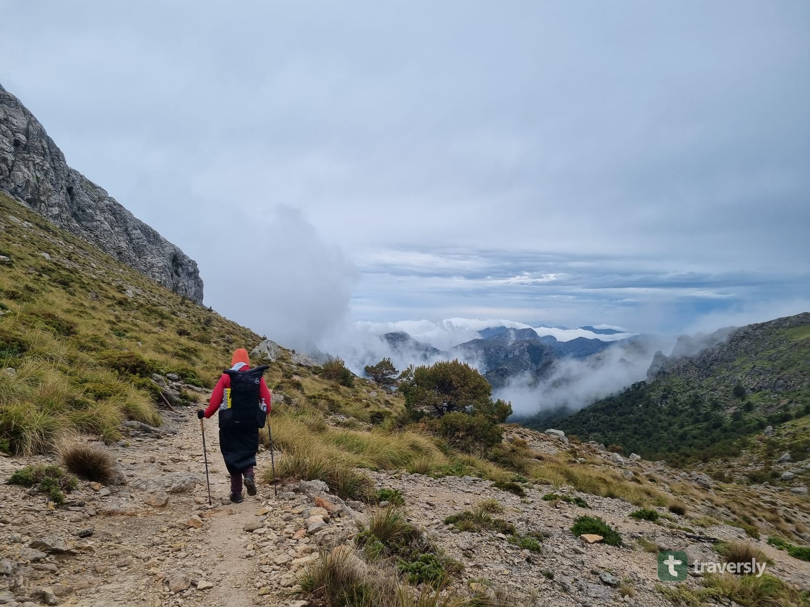
What’s unusual is everything around that terrain. Villages, bus stops, refuges, and restaurants sit close to most of the route. So a bad-weather day, a sore knee, or a change of plan rarely means being stuck. That’s the distinction worth holding onto through the rest of this guide: relaxed, not easy. The trail asks real things of your legs and your judgment. It just doesn’t ask you to solve complicated logistics to attempt it.
Summary: The GR221 has genuine mountain difficulty: rocky limestone, real elevation gain, exposed ridges. But towns, transport, and accommodation stay close enough that it’s unusually forgiving to plan and adjust on the fly.
Which direction should you hike: Port d’Andratx to Pollença, or the reverse?
Port d’Andratx to Pollença, south to north, is the conventional direction, and it’s the one the trail’s official 13-stage numbering follows. We walked it the other way, north to south, starting from Port de Pollença and finishing near Port d’Andratx.
Our reasoning was simple: several of the route’s steepest climbs sit on the range’s north-facing slopes. Walking north to south put those climbs in the morning, still in shade, rather than as a sun-exposed descent. It worked well for us in early May. It’s an observation from one direction and one week of weather, not a rule that holds on every stage or every season. South to north still matches most guidebooks, most trekking-company itineraries, and probably most refuge availability. So it’s a reasonable default if you’re not choosing for a specific reason.
Summary: South to north (Port d’Andratx to Pollença) is the conventional direction. North to south put some of our steepest climbs in the shade instead of the sun, but that’s a preference, not a universal advantage.
Why start at Port de Pollença instead of Pollença itself?
The town of Pollença is the more common starting point. If you only care about the mountain stages, it’s a perfectly reasonable one to use. You skip a flatter, less dramatic first stretch. We started a few kilometers further out, at the coast in Port de Pollença. It turned the hike into an actual coast-to-coast crossing rather than a mountains-only itinerary.
That first stretch isn’t the trail’s most scenic, but it’s not wasted time either. It stays separated from the road rather than forcing you onto a shoulder. It also runs close to the wetlands of the S’Albufereta nature reserve, one of Mallorca’s better birdwatching spots. It’s a spring stopover for migrating osprey, marsh harriers, and Eleonora’s falcons, among well over a hundred recorded species. The trail starting and ending at open water mattered to us. If that matters to you too, Port de Pollença is worth the extra few kilometers.
Summary: Pollença is the more common start if you only want the mountains. Port de Pollença adds a flatter coastal stretch, real birdlife, and a genuine sea-to-sea traverse.
Should you book refuges in advance, or stay flexible?
Every refuge on the GR221 is run centrally by the Consell de Mallorca, which handles bookings online rather than at the refuge door. Reservations open on a rolling basis roughly four months ahead. That’s the straightforward way to plan the trip: pick your dates, book a refuge bed for every night, and build the itinerary around confirmed stops.
We did something more improvised. Hiking in early May, outside the busiest weeks, we booked hotels and guesthouses a day or two ahead as we went. We carried a tent as an emergency backup rather than a planned way to sleep. That gave us more freedom to adjust the day’s distance to the weather or how our legs felt. But it leaned on May’s lighter demand for beds. During Easter week, July, or August, refuge and hotel availability tightens enough that booking ahead is the safer plan, not just the tidier one.
One thing this flexible approach does not mean: wild camping is not an option to fall back on. Camping in the open is not officially permitted across most of Mallorca, the Tramuntana range included. It’s a rule tied to wildfire risk as much as to trail management. So a carried tent is for a genuine emergency, not a way to skip a booking. Check current local guidance before you rely on it, and treat any camping you do as a last resort, not a plan.
Summary: Booking every refuge ahead through the Consell de Mallorca is the reliable plan. Staying flexible with hotels worked for us in the quieter early-May season. But wild camping itself is not officially allowed anywhere on the route.
Do you need a map for the GR221?
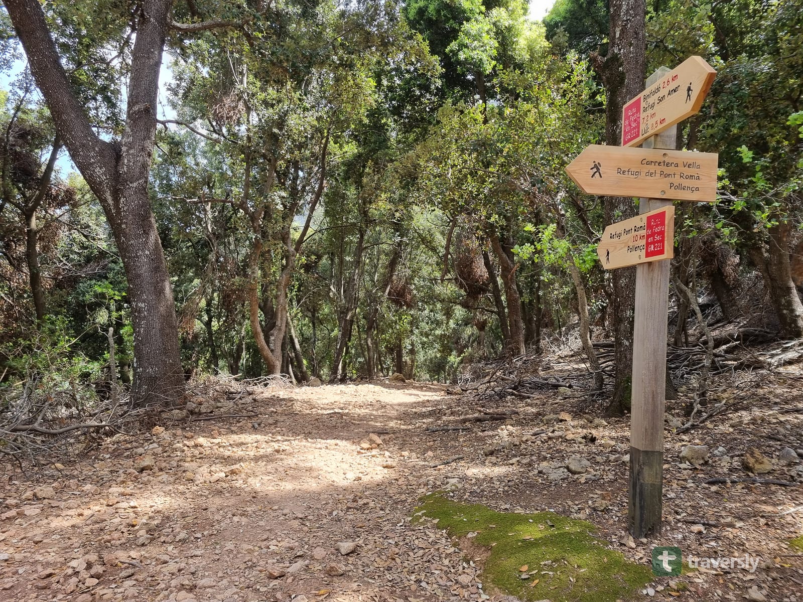
The whole route is now fully signposted. Gaps that persisted for years were filled in during 2025, including the final unmarked stretch between Sant Elm and La Trapa, at the trail’s southern end. The newer signs follow a single design: a wooden post with one red and one white stripe and a white arrow pointing the way. We passed several of them fresh enough to still smell like new-cut wood.
With that level of marking, and a booked bed telling you roughly where the day ends, you can go a long way without opening a map. That’s not a reason to leave one at home. Fog, a sudden storm, or a scraped-off waymark on an exposed stretch can still put you off the trail for a few minutes that feel much longer. A backup way to find your way back matters more, not less, once you’ve gotten used to not needing it.
This is close to the gap traversly is built for, once it covers this trail. It never hands you a blank map and a drawing tool, because the GR221 doesn’t need one the way it’s marked now. What it plans is your nights: which of the 13 official stages you combine, where you sleep at the end of each day, and what that night needs from you. The map is the thing you fall back on for the rare stretch where the markers disappear. traversly’s guides so far cover the GR20 in Corsica. The GR221 is next, built the same way, from comments left by the hikers who walked it recently rather than an annually reprinted guidebook. Coverage isn’t live yet, so for now, carry a real offline map alongside the waymarks, and get notified when the GR221 guide ships.
Summary: New 2025 signposts mean you’ll rarely need to check a map on the GR221. But fog, storms, and damaged waymarks are exactly when you will. Carry a backup, don’t rely on memory of well-marked days.
What are the best parts of the hike?
A few stretches stood out enough that they’re worth walking for on their own.
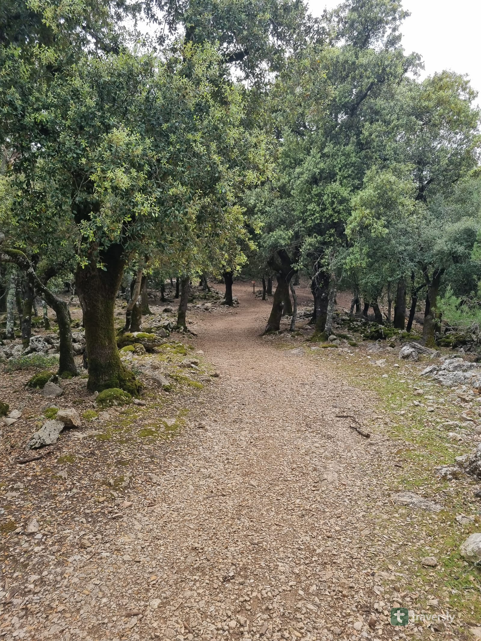
The oak forest on the way toward Lluc is one of them: old holm oaks, deep shade, and a noticeably cooler, quieter feel than the rest of the range. It’s a real contrast to the postcard image of Mallorca. We passed small natural water sources along this stretch. They’re evidence of how long people have managed water in these mountains, not just scenery to walk past. Treat any of it the way you would any untreated mountain water, and check current conditions before relying on a specific source.
The descent toward Sóller is the other highlight, and probably the trail’s single best argument for itself. A hand-built stone path drops through old olive terraces, with the town and its bay opening up below as you lose altitude. Some of the oldest olive trees along the way are gone. But the terracing itself is still there, still legible as the working landscape it used to be. Don’t rush this stretch just because the town below looks close.
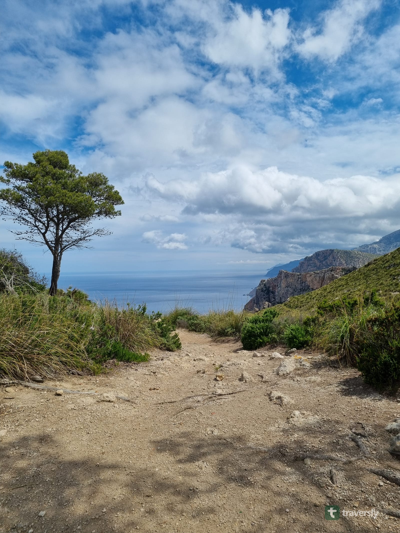
South of Sóller, the character of the trail changes. The mountains get lower and drier, and the views open toward the sea more often. The landscape reads less like a mountain range and more like the Mediterranean coastline most visitors expect from Mallorca. It’s a gradual, satisfying shift rather than an abrupt one.
Summary: The oak forest toward Lluc, the stone descent into Sóller through old olive terraces, and the drier, more open southern stretch are the three sections. They’re worth building a day’s pace around.
What’s the history behind the GR221’s stone paths, and Sóller’s pirate festival?
The dry stone the trail is named for, pedra en sec, in Catalan, isn’t decoration. Mallorcans built these paths, walls, and terraces over centuries without mortar. They stacked stone alone to hold back hillsides, manage the range’s uneven water supply, and connect villages that had no other route between them. Loaded mules and donkeys once used the tops of some of these same walls as trade paths. The wider Tramuntana landscape carries UNESCO World Heritage status as a cultural landscape, recognizing that centuries-long relationship between people and the mountains. The dry-stone building technique itself has its own separate UNESCO Intangible Cultural Heritage listing, shared with several other Mediterranean and Alpine countries that still build this way.
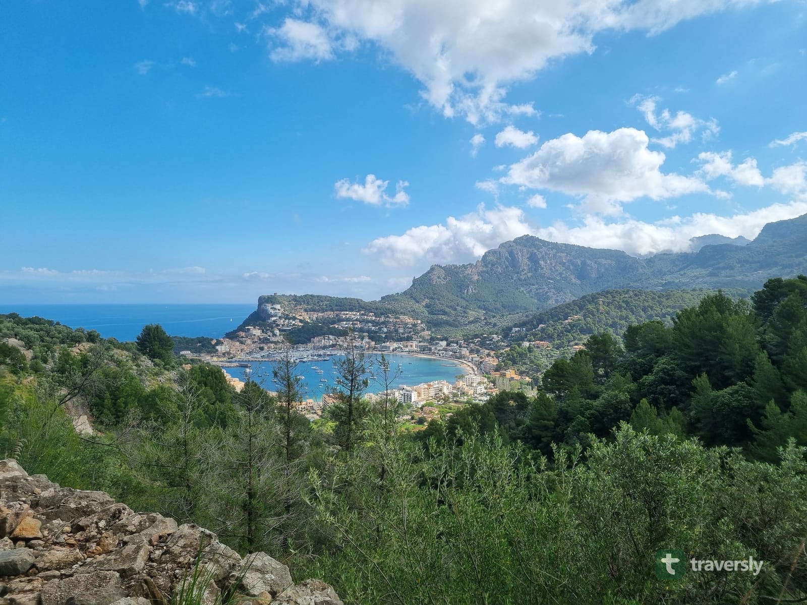
Sóller itself carries a more specific piece of history, and we walked into town a few days before it comes alive with it. Every May, the town re-enacts Es Firó, a battle that actually happened. On 11 May 1561, a fleet of Turkish and Algerian raiders, by most counts somewhere around 1,700 to 1,800 men, landed at Port de Sóller. They intended to sack the town but were driven back by its residents. The modern festival runs Thursday to Monday in early-to-mid May. It builds from a solemn investiture ceremony through a market day to the battle re-enactment itself at the port. We arrived early enough to see the town’s flags and bunting already going up, rather than the battle in full swing. It was still a good reminder that the GR221 crosses more than scenery. You’re walking through a place with its own remembered history, and you’ll pick up pieces of it without trying.
Summary: The trail’s stone paths are UNESCO-recognized centuries-old infrastructure, not scenery. Sóller adds its own history on top, re-enacting a real 1561 pirate raid every May.
How serious is the mountain weather on the GR221?
Serious enough to plan for, regardless of what the rest of Mallorca’s forecast looks like. We hit real thunderstorms more than once during our week. One rolled in over the sea fast enough to watch the rain curtain approach from a ridge above it.
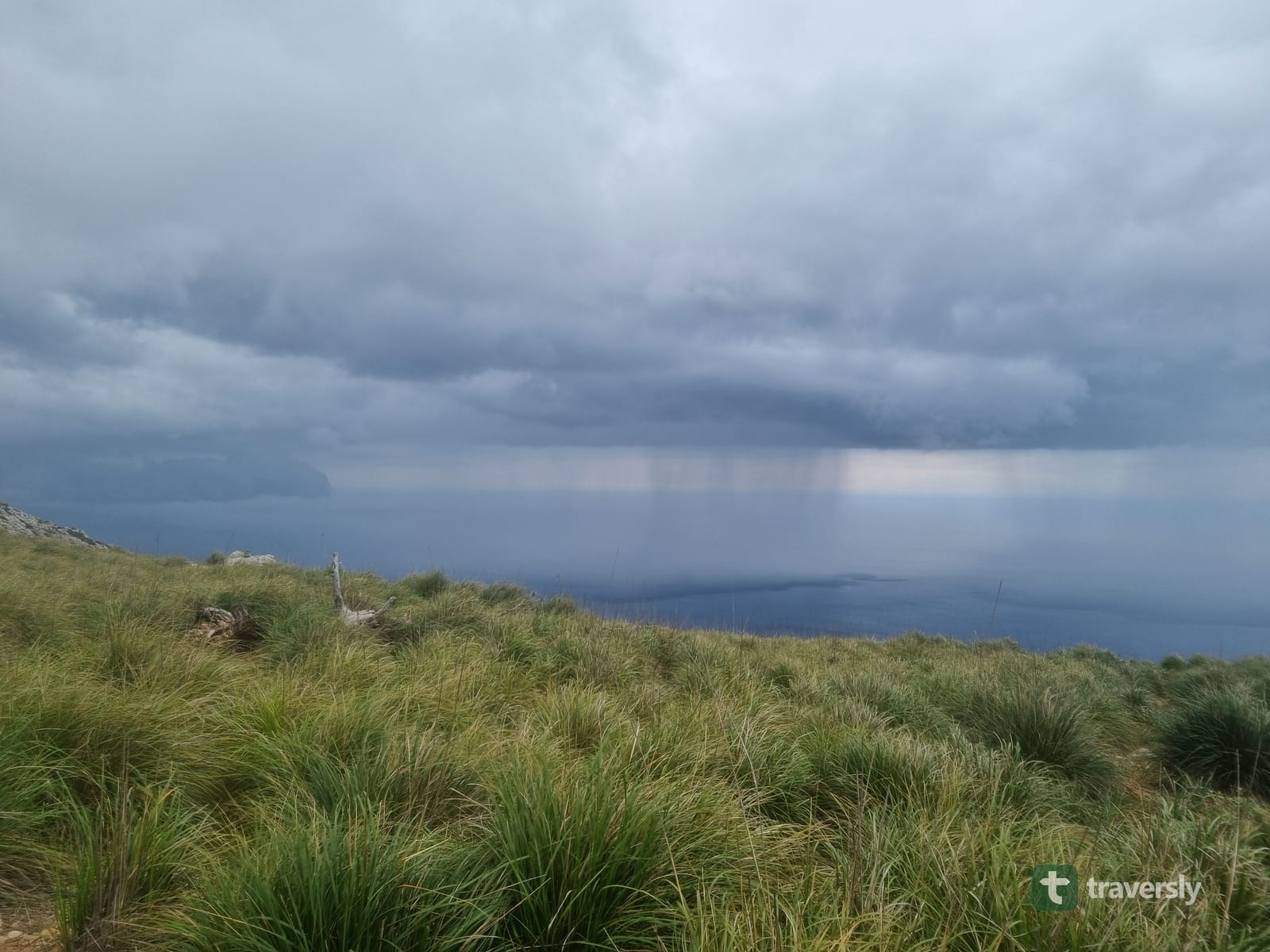
Mallorca may be a holiday island, but the GR221 is still a mountain trail. It should be packed for as one: a real waterproof shell, a warm layer for cold, wet evenings even in spring. Add footwear with actual grip for wet limestone. And have a plan for what you do if a storm catches you on an exposed ridge, rather than deciding in the moment.
Summary: Thunderstorms and fast-changing conditions are a real feature of the Tramuntana, not a rare exception. Pack for a mountain trail, not for the beach the rest of the island is known for.
How should you plan water on the GR221?
Towns make this easy: taps, cafés, and shops mean resupply is rarely a real problem near villages. The harder stretches are the mountain sections between them. Some of these run long and dry, particularly further south and later in the hiking season. Small springs that were flowing in April can have stopped by summer.
Treat any single water source, ours included, as a data point rather than a guarantee. Carry enough for a full dry stage, and check recent conditions rather than trusting an old map pin. This is the kind of stage-by-stage detail traversly is built to carry once its GR221 guide exists, the same way it already does for the GR20. It’s not replacing the towns’ easy resupply. Instead, it covers the gaps between them with comments from hikers who passed a few days before you, rather than an old edition of a guidebook, so a dry stretch is something you see before you plan the day around it.
Summary: Water is easy in towns and unpredictable on the longer mountain stretches. Plan for a full dry day between reliable sources, rather than counting on any specific spring.
When is the best time to hike the GR221?
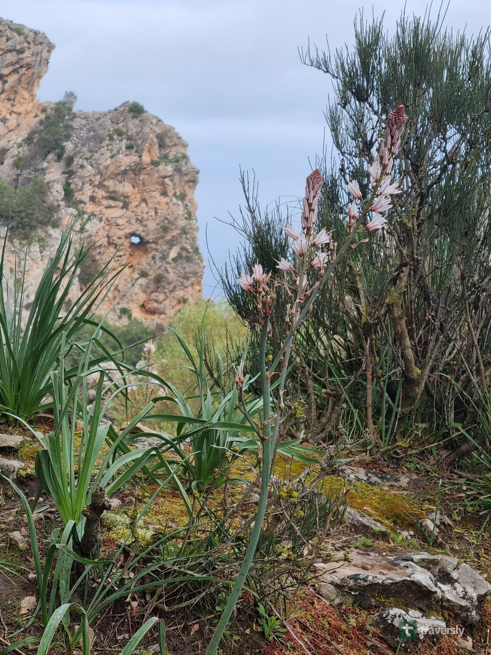
April, May, September, and October are the strongest windows. We hiked in early May and had comfortable daytime temperatures, green hillsides, and enough spare capacity in hotels and refuges to stay flexible. That’s alongside the real thunderstorms mentioned above, which are part of the trade-off, not a reason to avoid the season.
July and August are generally a poor choice for a full traverse. Heat, sun exposure on the rockier stretches, and little shade for hours at a time make for a harder trail than the same route in spring. Winter brings colder, wetter conditions at altitude, and some refuges and services running reduced hours. So it’s workable, but needs more planning around what’s actually open.
Summary: Spring (April–May) and autumn (September–October) offer the best balance of temperature, daylight, and open services. Summer is genuinely harder, and winter needs extra checking of what’s actually running.
Who is the GR221 a good fit for?
It suits hikers who want real mountain scenery and a genuine multi-day trail, without the logistics of a remote expedition. The trail rewards planning less than it rewards flexibility, since towns, buses, and beds are close enough to adjust to along the way. If you want centuries-old stone paths, olive terraces, mountain villages, and a hot meal at the end of most days, this is a strong match.
It’s a weaker match if what you actually want is remote wilderness with long stretches of nothing, or a flat coastal walk without real elevation gain. The GR221 has both mountains and infrastructure in the same package. If you’re drawn to one and not the other, it’s worth knowing that going in.
Summary: The GR221 fits hikers who want mountain terrain paired with real infrastructure. It’s a poor fit if you’re specifically after remote wilderness or a flat coastal route.
Our take: is the GR221 worth hiking?
It’s not easy: the terrain, the elevation, and the weather are all real, and none of that changes because Mallorca’s reputation says otherwise. What it is, is remarkably easy to organize around: close to an international airport, well served by buses, thick with villages, refuges, and restaurants. And now, after the 2025 waymarking work, it’s about as clearly marked as a long-distance trail gets.
You want a trail where the day can hold rugged limestone, centuries-old stone paths, and real weather. If it can still end with a warm meal and a real bed, the GR221 is hard to beat. Planning your own hike? traversly is building the same kind of guide it already has for the GR20: your nights split into days you can actually walk, with water, beds, camping and resupply along them, kept current by the hikers who walked it recently. On a trail like this one, where villages are close and a room can often be arranged a day or two ahead, far fewer of your nights have to be locked in months out than on the GR20, and the guide tells you which ones do. The GR221 is next on the list. Join the newsletter to know when it’s ready, or see traversly’s full trail list for what’s covered so far.
Summary: The GR221 is a genuine mountain trail with unusually forgiving logistics: real difficulty, real weather. And it’s rarely far from a bed, a meal, or a way out if you need one.
Frequently asked questions
How long does the GR221 take to hike?
The official route is split into 13 stages. Most hikers combine some of them, finishing the full Port d’Andratx-to-Pollença traverse in 7 to 10 days. Walking every stage separately, at a relaxed pace with rest days, can stretch that to two weeks.
Do I need to book refuges on the GR221?
You don’t have to. Hotels, guesthouses, and buses are within reach of most of the route. But the trail’s refuges are run centrally by the Consell de Mallorca, and beds for the popular spring and autumn weeks fill up. If you want a refuge on a specific night, book it in advance rather than assuming a walk-up bed.
Can I wild camp on the GR221?
No, not officially. Camping in the open is not permitted across most of Mallorca, the Tramuntana included. It’s a rule enforced with fires and land use in mind, not just hiker convenience. A tent is worth carrying as an emergency backup, not as a way to skip booking a bed.
Which direction should I hike: Port d’Andratx to Pollença, or the reverse?
Port d’Andratx to Pollença, south to north, is the conventional direction and the one the official stage numbering follows. Walking it the other way around, north to south, puts some of the biggest climbs on the shadier, north-facing side of the range in the morning. That’s something we noticed on our own hike, not a rule that holds on every stage.
When is the best time to hike the GR221?
April, May, September, and October give the most reliable mix of manageable temperatures and open refuges. Summer gets hot and exposed with little shade on the rockier stretches. Winter is colder and wetter, and some refuges and services run reduced hours.
Is the GR221 a good first long-distance hike?
It’s more approachable than most mountain thru-hikes, simply because towns, transport, and accommodation are rarely far from the trail. You’re never truly isolated if a day goes wrong. That said, it still means real daily elevation gain on rough limestone. So match your stage lengths and pack weight to what you can actually walk, not to what the fastest itinerary online suggests.
Is water a problem on the GR221?
Not in the towns, where taps and shops are easy. Some mountain stretches between them run long and dry, especially later in the season, and small springs can stop flowing without warning. Carry enough for a full dry stage and check recent conditions rather than trusting a single old map source.
What does “Ruta de Pedra en Sec” mean?
It’s Catalan for “Dry Stone Route.” GR221 is the trail’s waymark code. Ruta de Pedra en Sec is its official name, after the centuries-old dry-stone paths, terraces, and walls the route follows through the Serra de Tramuntana.
Frequently asked questions
How long does the GR221 take to hike?
The official route is split into 13 stages. Most hikers combine some of them, finishing the full Port d'Andratx-to-Pollença traverse in 7 to 10 days. Walking every stage separately, at a relaxed pace with rest days, can stretch that to two weeks.
Do I need to book refuges on the GR221?
You don't have to. Hotels, guesthouses, and buses are within reach of most of the route. But the trail's refuges are run centrally by the Consell de Mallorca, and beds for the popular spring and autumn weeks fill up. If you want a refuge on a specific night, book it in advance rather than assuming a walk-up bed.
Can I wild camp on the GR221?
No, not officially. Camping in the open is not permitted across most of Mallorca, the Tramuntana included. It's a rule enforced with fires and land use in mind, not just hiker convenience. A tent is worth carrying as an emergency backup, not as a way to skip booking a bed.
Which direction should I hike: Port d'Andratx to Pollença, or the reverse?
Port d'Andratx to Pollença, south to north, is the conventional direction and the one the official stage numbering follows. Walking it the other way around, north to south, puts some of the biggest climbs on the shadier, north-facing side of the range in the morning. That's something we noticed on our own hike, not a rule that holds on every stage.
When is the best time to hike the GR221?
April, May, September, and October give the most reliable mix of manageable temperatures and open refuges. Summer gets hot and exposed with little shade on the rockier stretches. Winter is colder and wetter, and some refuges and services run reduced hours.
Is the GR221 a good first long-distance hike?
It's more approachable than most mountain thru-hikes, simply because towns, transport, and accommodation are rarely far from the trail. You're never truly isolated if a day goes wrong. That said, it still means real daily elevation gain on rough limestone. So match your stage lengths and pack weight to what you can actually walk, not to what the fastest itinerary online suggests.
Is water a problem on the GR221?
Not in the towns, where taps and shops are easy. Some mountain stretches between them run long and dry, especially later in the season, and small springs can stop flowing without warning. Carry enough for a full dry stage and check recent conditions rather than trusting a single old map source.
What does "Ruta de Pedra en Sec" mean?
It's Catalan for "Dry Stone Route." GR221 is the trail's waymark code. Ruta de Pedra en Sec is its official name, after the centuries-old dry-stone paths, terraces, and walls the route follows through the Serra de Tramuntana.
Published on · Updated on
← Back to blog 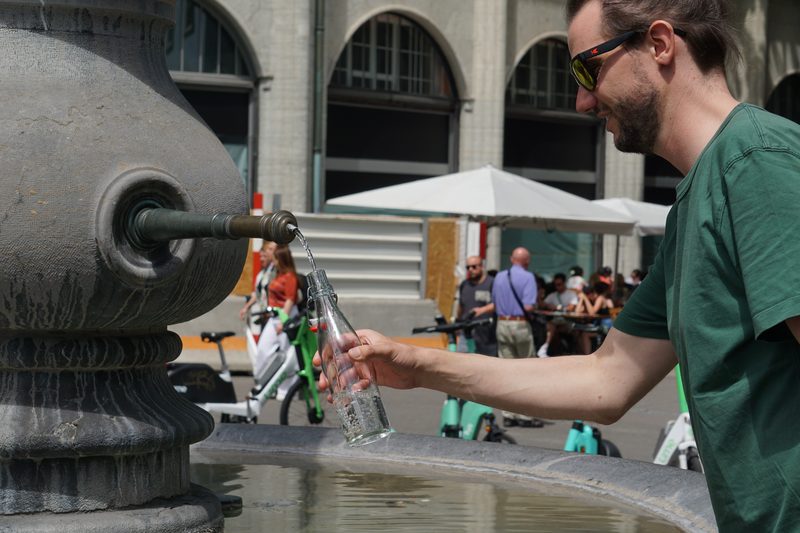 By Micha · Co-Founder, traversly
CDT thru-hiker · Co-founder of droply and traversly
Micha co-founded traversly after thru-hiking the Continental Divide Trail and co-founding droply, the water-finding app used by hikers in more than 60 countries. He is currently walking and researching long-distance trails across Europe, from the Camino Francés to the GR20, before traversly ships.
New guides in your reader
New trail guides land in your feed reader the day they're published. No email address, no account, no tracking. If you'd rather have them by email, there's the newsletter.
Feed address
https://traversly.app/rss.xml